April 8, 2015
Green Turtle Cay
This is the first inhabited island where we have stopped overnight since leaving Fort Lauderdale.
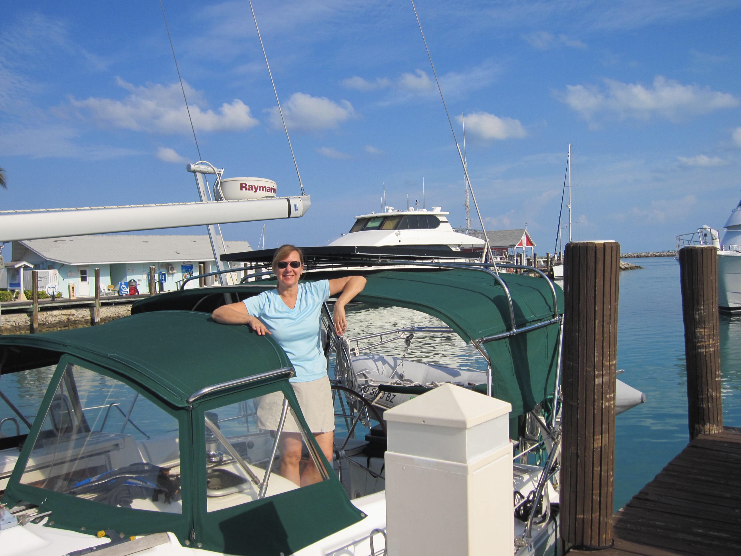
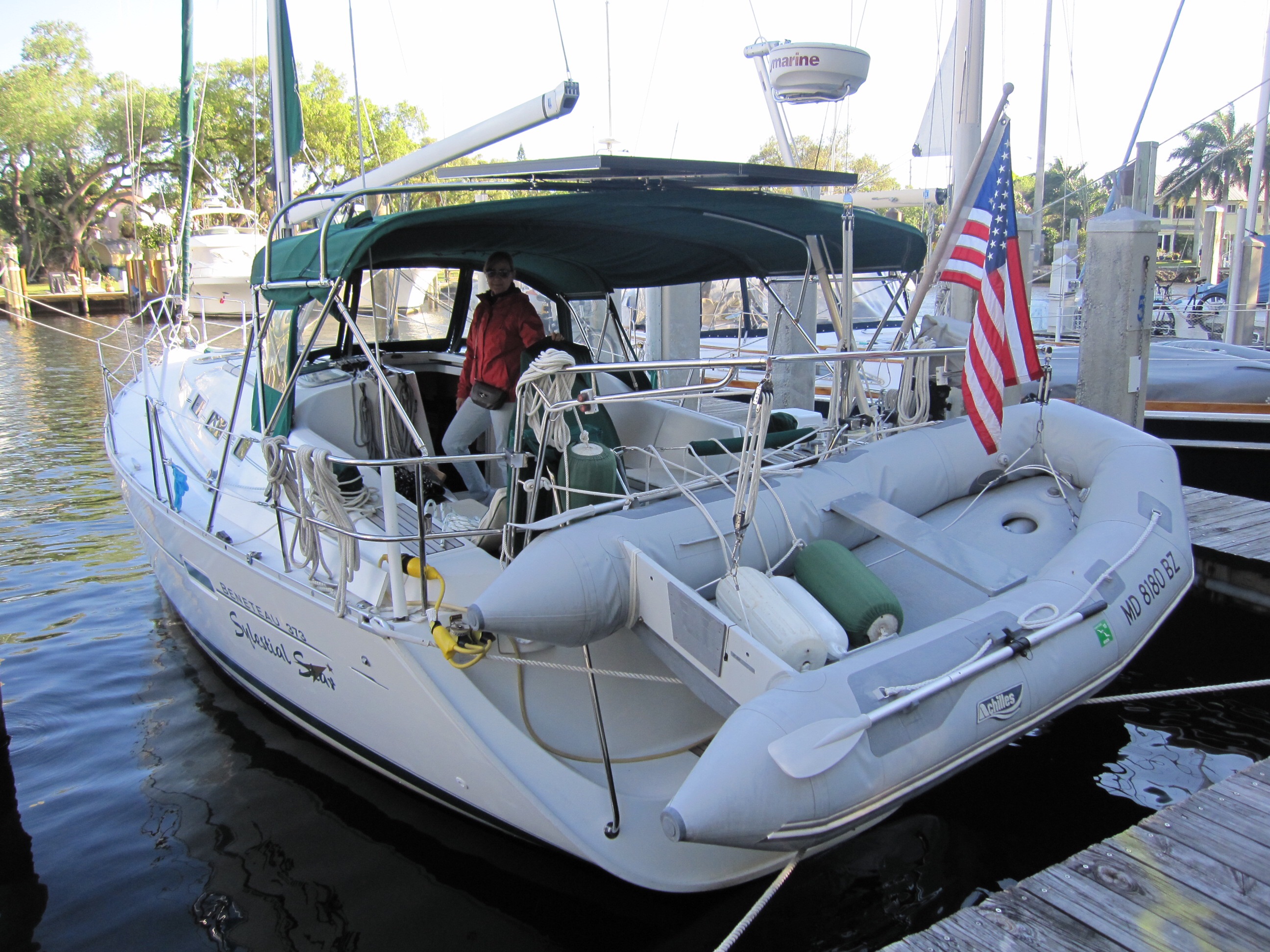
And it is our first stay in a marina since arriving in the Bahamas. Sylestial Star is now secured in a slip at the Green Turtle Club, in White Sound, on Green Turtle Island.
But first, let me talk about from where we came – lovely Powell Cay. We arrived at Green Turtle Cay yesterday after having spent 3 relaxing nights on the hook at Powell Cay. Powell Cay is a great location for isolation and relaxation. We swam, read, did boat chores and dinghyed to and explored this uninhabited Cay with Mike and Bejay who were anchored not far away.

Approaching Powell Cay

We love our Garmin Naviation Software! Touchscreen, it provides us lots of info. Here is a partial plotted course, in brown, to Powell Cay.
Mike said that this is the most crowded he has seen this large anchorage in his many visits. If this is crowded, I’ll take it! The Cay is not very wide so we walked through some underbrush and trees to its Atlantic Ocean side where we walked the beach and could observe the ocean breaking on an off-shore reef – not a good place for sailing! The contrasting water colors with white waves breaking outside the reef was quite memorable.

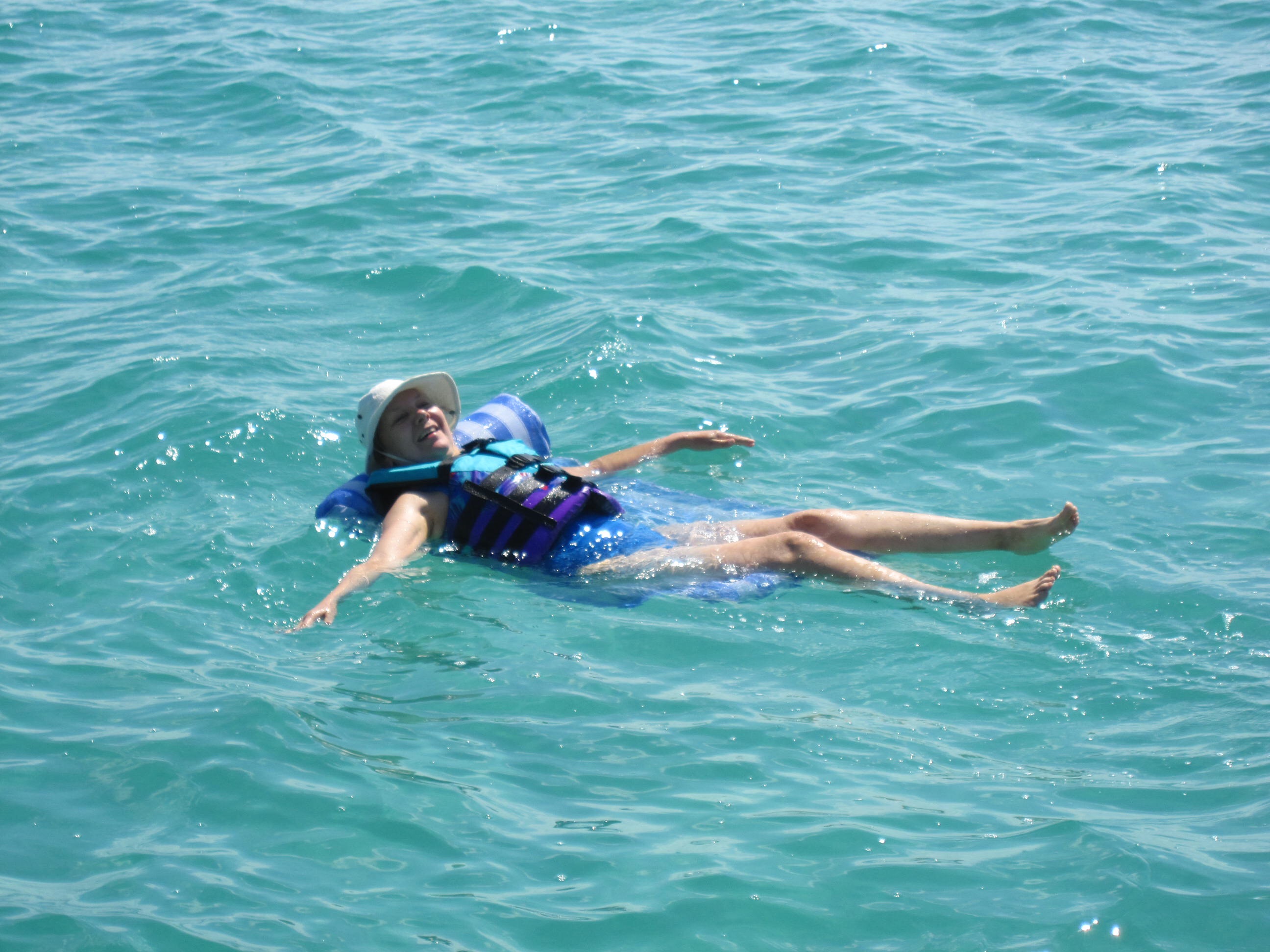
The Admiral relaxing on a Water Mattress after a swim

Sylestial Star at rest – The Admiral is off-duty.

The captain returns after his swim

Ashore on Powell Cay – Mike, Sylvia and Tom
We dinghyed over to Carolina Moon for an enjoyable pasta dinner our 2nd night on the hook at Powell Cay. We stayed late, as we often do after a meal. The 4 of us always find a lot to talk about.
The wind shifted slightly to the southeast on our 3rd night in the anchorage so we lost some of our lee protection and experienced winds over 20 knots. However, the wind eventually died down during the evening. We slept well as our Mansion Supreme anchor with 100′ of chain and overall rode of 115′ held us firmly in place.

Bahamian Sunset
Happily, we have had no problems so far with energy consumption since we arrived in the Bahamas. Mike and Bejay, who also sail a Beneteau 373, gave us a tip not found in our “Sea Frost” owners manual that reduced our refrigerator usage. As a consequence, each day our 2 140 watt Kyocera solar panels with Blue Sky controller have generated enough amps to keep Sylestial Star sufficiently charged( including 3 nights on the hook at Powell). No need to run the engine while at anchor at this point! We’ll see how this plays out on some not so sunny days.
Our thanks to Brian(electrical) and Gary(mechanical) for their help with last spring’s install in Rock Hall.
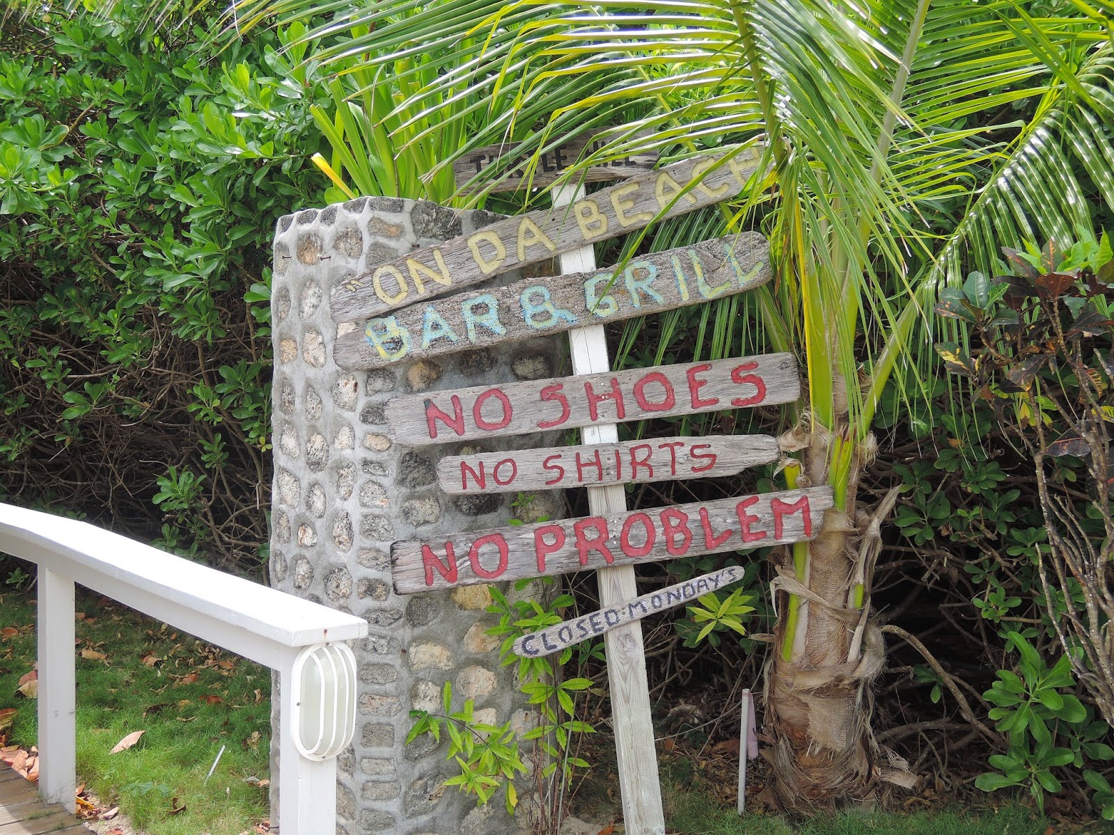
Green Turtle Cay is a very different experience from Powell Cay but a nice place to spend some time taking in life on a small Bahamian island. We rented a golf cart( the typical mode of transportation here) and explored the island with Mike and Bejay, who have visited here on their 2 previous trips to the Bahamas.

Our transportation on Green Turtle Cay
The island is bordered by the Atlantic Ocean on the east and the Sea of Abaco on the west. The western side of the island has a small natural harbour on its north, named White Sound and a small natural harbour on its south, named Black Sound. Each harbour has several medium sized marinas which can only be approached at high tide( the tidal difference is close to 3′).
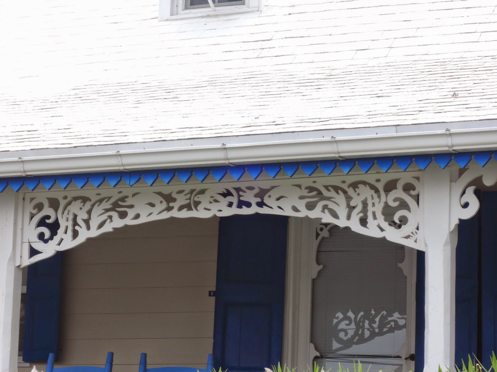
Most of the islands 450 inhabitants live in its only town, New Plymouth, located on a small peninsula jutting out from the west side. Houses in New Plymouth are an interesting mix of 18th and 19th century American architecture painted in Bahamian colors.

Colorful Homes in New Plymouth
New Plymouth was settled by exiled American Loyalists, who were on the losing side of the American Revolutionary War and former slaves, who the British saved when they evacuated Charleston and Savannah at the war’s end. Most of the current inhabitants are their descendants and honor their British heritage in many ways including a beautiful sculpture garden with busts of famous ancestors.

The “Loyalist” Sculpture Garden in New Plymouth


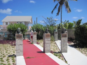
Busts in the “Loyalist” Garden
While walking around town( and stopping at its one small bakery for some delicious home made baked goods), we walked down an alley and visited “Vert’s Model Ships”. Vert, who looks close to 90, works in a hot shed, behind the house where he was born, building large wooden model ships, most fully rigged. He makes all of his parts on a small lathe in his shop. He keeps all of his extra parts in dozens of glass jars, which he hangs from the shop’s ceiling. And he keeps all of his finished models in a large glass display case, also in the shop. Most sell for $1,000 to $2,000.
Vert’s model ships are beautiful and would look at home in the U.S. Naval Academy Museum or the Royal Navy Museum in Greenwich.

New Plymouth streets honor its British heritage

The best(and only) bakery in New Plymouth
We walked the docks in Black Sound. Although not quite as nice as Green Turtle on White Sound, they are adequate and run about .50′ for those who stay for a month or the season. Most of the boats in the marina appear to be full season slipholders with most being Canadian.

Sylvia and Bejay walking the town.
We were impressed with the dock hands at the Green Turtle Club. After visiting the fuel dock. Justin, the dock hand, jumped on board to tend our. lines as we entered our slip. He lassoed the outside pilings from 10′ away as we entered the slip. He was 4 for 4 on first tries between our 2 boats. Justin the Cowboy!

In our slip at The Green Turtle Club

A flower among the Palms
The Club and marina are quite nice with a small beach, rental cottages and a very nice large screened in restaurant where the delicious meals were worth the rather longish wait for the food. There are hundreds of dollar bills taped to the walls and ceiling of the bar area along with flags of many yacht clubs, but no Corinthian flag. Are we the first Corinthians to visit?
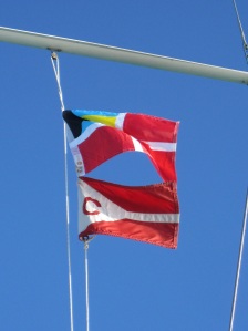
Our Bahamian and Corinthian flags
As this is being written inside the club(only place so far we can get a wifi signal) a popular Bahamian band has begun playing outside. Close to 100 guests and locals have joined in the fun and will be dancing until midnight.
Oh, the Green Turtles? Once in great abundance on Green Turtle Cay, they, like the Indians, the Spanish, the Pineapple farms and the salvage ships waiting for wrecks on the reef, are long gone.
Tomorrow the weather will be favorable so we will catch the tide, transit the reef via Whale Passage at slack tide, and head further south in the Sea of Abaco.